Pages

Showing posts with label hike. Show all posts

Wednesday, June 22, 2011

Dog Days on the Bartram Trail

6/11 run/hike 1hr 45 mins on Bartram Trail in New Balance MT101's with CamelBak Lobo and dogs
6/12 run/hike 44 mins on Batram Trail before heading home with the dogs

HR not recorded

The access point for this section of the Bartram Trail was only about a 5 min walk from where we were staying, which made it great for taking the dogs.  For those of you not familiar with the Bartram Trail (like me), it spans over 70 miles with yellow blazes through Nantahala National Forest.  Within the first mile it became apparent that we were probably the only people on this section of the trail, so we unleashed the beasts.  Maddy can hold her own, but poor Tyson can't pace himself for sh*t.  Being a boxer, his brachycephalic head is excellent at spreading slobber onto anyone and anything but does a poor job of cooling and respiration.  Once off leash, he decided his best strategy for keeping up would be to run ahead of us at full speed, then stop dead in the trail to catch his breath.  This would take him awhile, so we would all pass him and then he would try and do it again.  Talk about bad trail etiquette.  Myself and the wife would have to jump out of the way to avoid knocking him off the trail when he would try to pass us again.  Maddy, being a lab/newftard, has unlimited stamina and climbs like a billy goat, so she decided to zig-zag back and forth across the trail and up and down the mountain side for most of the hike.  She probably covered about 4x the distance.

We planned our turnaround point for whenever Tyson puttered out.  He lets us know by lying down in the middle of the trail.  I believe this section of the trail leads to some very nice waterfalls, but we never got that far thanks to Mr. Tyson.  Here's a pictorial narrative of what happened, as captured by my wife:
Woohoo, we're free!  Hurry, escape from the humans!

Ugghh, I'm out of breath.  Me too.  Let's see what the humans are doing.

Cool pathway through the trees

Hey, I think I found some water!  I'll lay in it while you drink it.

He seems to know where he's going, I'll follow him!
Screw this, it's nap time!
The human is leaking water and it's cold and delicious!
Ok. Ok.  I promise to go a little further, but you better find me some more water.

Hey, I think I found some water over here!

Woohoo, let's go check it out!

Oh yeah, I just need to cool off my junk for a bit.

Hey, does anyone else think this tastes like balls?

Cough. Cough ugh.  Must get taste out...of mouth.

fin.

Monday, June 20, 2011

What did we get ourselve into on Wesser Creek Trail

6/10 run/hike 3 hours 43 mins on Wesser Creek Trail in New Balance MT101's with a fully loaded 100oz CamelBak Lobo

HR avg 110 max 152

I guess I should have read the description before haplessly agreeing to the +1's plan.  The description states, "Hiking up to Wesser Bald and back (5 miles each way) is an all day affair requiring a lunch, plenty of water and lots of stamina."  She didn't tell me to bring lunch!  We started off with a nice run, not realizing what happens after the first mile.  I guess I should have figured out what was going to happen when she told me we were to finish with magnificent views of the surrounding countryside.  After the first mile we began the climbing and switchback after switchback through overgrown vegetation.  No one else was on the trail and at points, it looked like no one had been on the trail in a LONG time.  A few parts were completely overgrown.  We did get some magnificent views and photos.  Thank goodness we didn't turn around.  There were two distinct points where we thought we were lost or confused about the distance.  I believe the actual distance is about 10 miles even though my garmin recorded 8 and my Timex got 8.5, which I think is the result of a combination of tree cover, elevation and switchbacks.  A peek at the gps data confirms this, as it resembles the result of an unsupervised 2 year old with a red crayon.  The +1 took so many beautiful pictures on this hike I wish I could share them all.  This trail is one of the most beautiful I've been on, but unless your name is Anton (get well soon!) I wouldn't say it's very runnable.  Here's a sample:


Our faithful steed survived a hailstorm and bottoming out on countless rocky dirt roads

Ohh, I guess that looks kind of like a trail!

I totally wanted to climb across these logs

What could possibly go wrong?

Honey says no... hence I am still alive to write this post

Just stunning

The canopy

A huge tree's roots had cut into the rock causing it to fall

Shot of me monkeying around for scale

This was before we realized how much climbing was ahead

so many beautiful water features

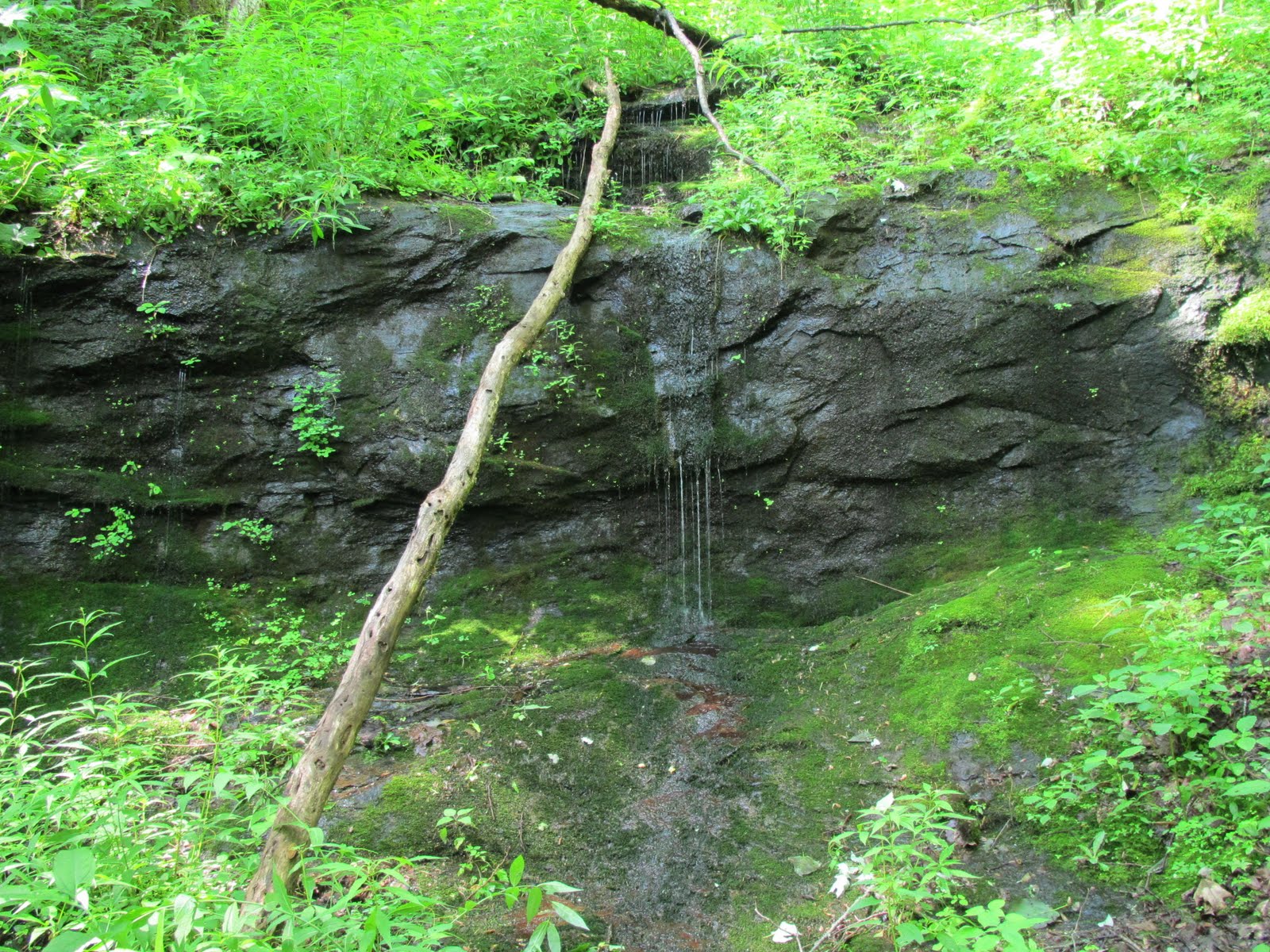
This was the coolest miniature waterfall

Made it to the Appalachian Trail intersection!

Mountain Laurel was in full bloom

So this is what they meant by "overlook"

Speechless

Mountain's Majesty

It's worth it, but bring a lunch ;-)

Tsali right loop

6/9 run/hike 78 mins on Tsali right loop in New Balance Minimus MT10 with my CamelBak Lobo, 2 big dogs and the +1

HR avg 109 max 154

We brought both the dogs along for this one and left the bikes behind.  Saw lots of mountain bikers in the parking lot, but today right loop was reserved for hikers and horses.  Perhaps we didn't get far enough into the trail due our geriatric boxer, but I didn't find the trail to be particularly remarkable or special compared to some of the other trails in the area.  I would say it was flatter than most of the others and probably the only one that would be rideable on a mountain bike.
View from Tsali right loop